National Freight Corridors: How the Network Is Built
How FHWA's National Highway Freight Network defines U.S. freight corridors. The four subsystems, their mileage, and what designation leaves out.
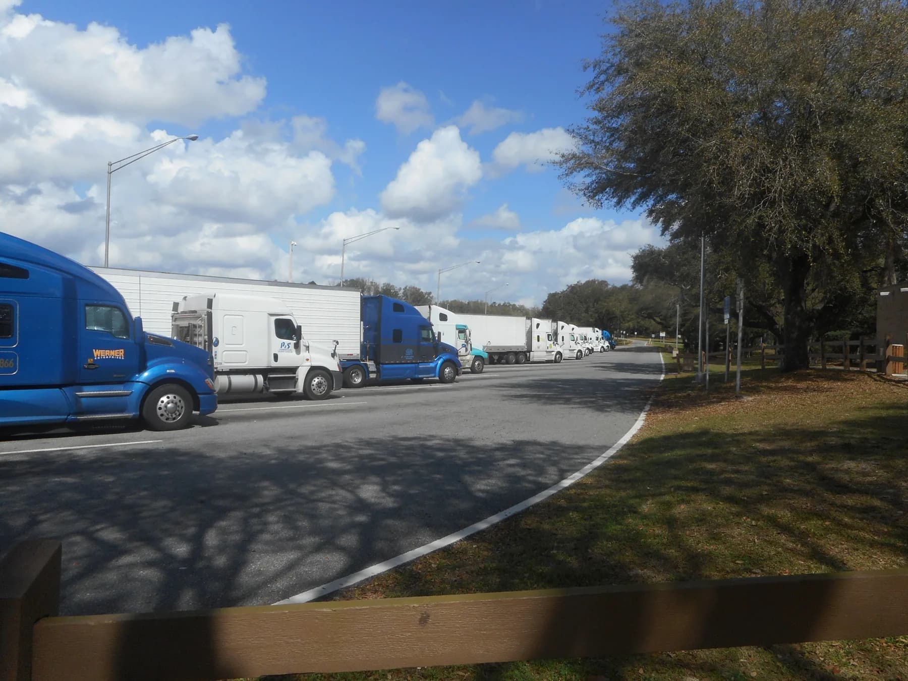

"Freight corridor" sounds informal, but at the federal level it has a defined meaning. FHWA's National Highway Freight Network, created under the FAST Act, exists, in FHWA's words, to strategically direct federal resources and policies toward better performance of the highway portions of the U.S. freight system. It is built from four subsystems with different rules for how roads get onto each. FHWA puts the whole network at about 60,110 centerline miles.
The four subsystems
| Subsystem | What it is | Mileage FHWA reports |
|---|---|---|
| Primary Highway Freight System (PHFS) | Highways identified as the most critical highway portions of the U.S. freight system, using measurable and objective national data | About 41,799 centerline miles after the 2022 Congressional re-designation: 38,014 Interstate and 3,785 non-Interstate |
| Non-PHFS Interstate | The rest of the Interstate System, kept in the network for continuity and access to freight facilities | An estimated 10,265 centerline miles, based on NHS Interstate mileage as of October 17, 2019 |
| Critical Rural Freight Corridors (CRFCs) | Public roads outside urbanized areas that connect the PHFS and the Interstate to ports, public transportation facilities and other intermodal freight facilities | About 5,390 centerline miles as of January 2023 |
| Critical Urban Freight Corridors (CUFCs) | Public roads inside urbanized areas with the same connecting role | About 2,656 centerline miles as of January 2023 |
Two consequences follow. Every Interstate mile is part of the national freight network, either on the PHFS or as non-PHFS Interstate. And the two critical corridor subsystems are where short connecting roads, such as a port access road, enter the federal picture.
Who decides what is on it
The PHFS is set nationally. The FAST Act fixed its first version as the 41,518-mile network identified for the earlier MAP-21 highway-only primary freight network. FHWA must re-designate the PHFS every five years to reflect changes in freight flows, and each re-designation may add no more than 3 percent to the system's total mileage.
The critical corridors are chosen by states and, in some cases, metropolitan planning organizations, and the choices are capped. A state may designate CRFCs up to 300 miles or 20 percent of its PHFS mileage, whichever is greater. CUFCs are capped at 150 miles or 10 percent of PHFS mileage, whichever is greater. For rural states, as defined in the Infrastructure Investment and Jobs Act, the CRFC ceiling rises to 600 miles or 20 percent. FHWA notes that the official record of both corridor types sits with its division offices.
So once a state's PHFS passes 1,500 miles, its caps grow with it, and the designated list is a choice made under a cap. It is not a survey of where trucks go.
Corridors are made of routes
The long-distance corridors are Interstate routes, and FHWA's route log records each one state by state. I-35, for example, runs 1,494.50 miles through six states, from Laredo in south Texas to Duluth in northern Minnesota. The I-35 freight corridor page uses it as a worked example of reading a corridor from public sources.
What designation does not tell you
Network status says a road matters to freight policy. It does not say how many trucks use it, how congested it is or what it carries. Those are measurements.
FHWA's Freight Analysis Framework publishes estimated average daily truck volumes on the National Highway System for a 2017 base year and a 2050 projection, plus versions by commodity, such as farm products or stone, sand, gravel and ores. They are model estimates and forecasts, not current counts. Observed traffic comes from state counting programs. A corridor ranking needs those counts, tied to a segment and a year, and this site does not publish one without them.
How the vehicles themselves are limited on these roads is covered in how heavy trucks use Interstate highways and truck weight, roads and bridges.
Sources
- FHWA: National Highway Freight Networkops.fhwa.dot.gov/freight/infrastructure/nfn/index.htmSource consulted: 2026-09-18. Regulations may change; check the current official text before relying on them.
- FHWA: Freight National Statistics and Mapsops.fhwa.dot.gov/freight/freight_analysis/nat_freight_stats/index.htmSource consulted: 2026-09-18. Regulations may change; check the current official text before relying on them.
- FHWA Route Log and Finder List, Table 1: Main Routes of the Interstate System (as of January 2026)fhwa.dot.gov/planning/national_highway_system/interstate_highway_system/routefinder/table01.cfm
Read next
I-35 Freight Corridor: Laredo to Duluth
I-35 runs 1,494.50 miles through six states from Laredo to Duluth. Its federal freight status, its split routes, and where measured truck counts come from.
How Heavy Trucks Use Interstate Highways
The Interstate system is the designated core of a national freight network, the road where federal truck weight limits bite hardest, and a place that sets its own demands on how a heavy vehicle is driven.
Truck Weight, Roads, and Bridges
Why federal law limits Interstate truck weight three ways at once, how the Bridge Formula turns axle spacing into a weight limit, and which exceptions change the answer.