Major Freight Corridors in Texas
A guide to the Interstate routes in FHWA’s Texas freight network, the state’s regional freight priorities, and what a network designation does—and does not—tell you.
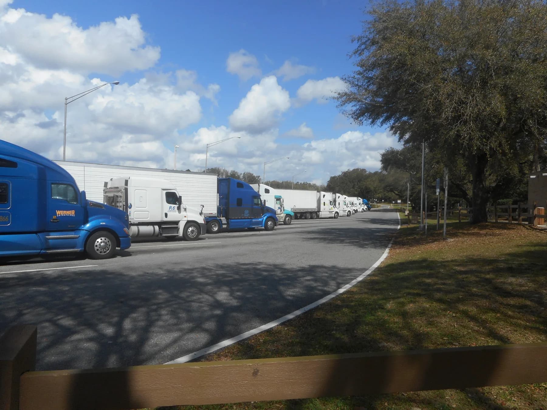

I-10, I-20, I-30, I-35, I-40 and I-45 all appear in FHWA’s published Texas Primary Highway Freight System inventory. They are part of a larger network of interchanges, border approaches, port roads and intermodal connectors. Understanding that network starts with the named routes—not with an unsupported claim about which carries the most trucks.
The Interstate routes in the federal inventory
The following is a reading guide to FHWA’s published route table, not a truck-volume ranking or a current navigation advisory. Route designations below retain the source’s endpoints so the entries can be checked directly.
| Route | What FHWA’s Texas inventory identifies |
|---|---|
| I-10 | PHFS segments from the New Mexico line to the U.S. 90/I-35 junction, and from I-410 to the Louisiana line; a separate San Antonio segment is listed as non-PHFS Interstate. |
| I-20 | A PHFS route from I-10 to the Louisiana line. |
| I-30 | A PHFS route from I-20 to the Arkansas line. |
| I-35 | PHFS entries running from U.S. 83 to the I-35E/I-35W split and from the reunited branches to the Oklahoma line. I-35E and I-35W have their own entries. |
| I-40 | A PHFS route across Texas between the New Mexico and Oklahoma lines. |
| I-45 | A PHFS route between State Highway 87 and State Spur 366. |
The inventory’s notes date its underlying road-network data to 2019 and state-reported critical-corridor data to January 2023. It establishes what that published inventory designates; it does not establish present-day truck counts, congestion, road conditions or every later network change. For a closer look at one route’s planning role, see I-35 truck traffic in Texas.
The same table includes specific freight connectors: roads to the Port of Laredo, the Port of Corpus Christi, Houston terminals and intermodal facilities in the Dallas–Fort Worth area. These smaller links explain why a freight network is more than a map of long-distance highways.
What a corridor means in a state planning document
TxDOT frames freight as a multimodal and economic problem before it frames it as a road problem. Its freight planning page states that Texas infrastructure moves billions of tons and trillions of dollars of freight each year and describes the agency's approach as integrating freight, trade and economic considerations into planning and programming across the agency. The Texas Freight Advisory Committee is described as the standing industry forum that identifies freight system trends, needs and issues to guide freight-related investment decisions.
The framing on the Texas Freight Mobility Plan page is economic as well. TxDOT states there that if Texas were a nation it would be the eighth largest economy in the world, that it has been the top U.S. exporter for 23 consecutive years, and that it is the largest energy-producing state in the country. Those are the agency's own characterizations as published, and they set up why corridors in Texas are planned around ports, border crossings and energy production as much as around metropolitan traffic.
The federal layer of designation
Whatever a state calls a corridor, federal designation follows its own rules. FHWA's National Highway Freight Network has four subsystems, and the entirety of the Interstate System sits inside it, either as part of the Primary Highway Freight System or as non-PHFS Interstate mileage. The two remaining subsystems are where state discretion enters: states, and in some cases metropolitan planning organizations, designate Critical Rural and Critical Urban Freight Corridors.
Those designations are capped. A state may designate Critical Rural Freight Corridors up to 300 miles or 20 percent of the state's PHFS mileage, whichever is greater, and Critical Urban Freight Corridors up to 150 miles or 10 percent, whichever is greater, with a higher rural ceiling for states meeting the statutory rural definition. Official records of both sit with FHWA division offices rather than on a national map. The practical consequence is that a state with a large PHFS network has more designation headroom, and that the designated list is a policy choice made under a cap, not a survey of where trucks go. More on that distinction in how heavy trucks use Interstate highways.
What TxDOT's own document list reveals
The most defensible evidence of which Texas corridors matter to the state is the list of freight studies TxDOT has published. Its freight planning archive includes an I-45 Freight Corridor Plan from 2016, a Permian Basin Regional Freight Plan and a Presidio Freight and Trade Transportation Plan from 2020, a Rio Grande Valley Freight and Trade Transportation Plan from 2021, a State of Freight Infrastructure in the San Antonio Region from 2020, and a Texas Freight Network Technology and Operations Plan from the same year.
Truck parking appears as its own planning strand, with a Statewide Truck Parking Study from 2020 and regional studies for El Paso and Far West Texas and for Houston and Southeast Texas published in 2024, alongside a Truck Parking Availability System. Elsewhere in the same planning section, TxDOT maintains separate work on international trade and border planning, a Texas-Mexico Border Transportation Master Plan update, maritime and port planning, and the Gulf Intracoastal Waterway.
Read as a set, that list is a map of freight geography: the Houston and Gulf coast industrial corridor, the border regions at the Rio Grande Valley, Presidio and El Paso, the Permian Basin energy complex, and the San Antonio metropolitan area. Each of those got its own document because each poses a different freight problem.
The plan being written now
TxDOT states that it is developing a 2027 Texas Freight Mobility Plan, a four-year update of its 2023 plan, under the Fixing America's Surface Transportation Act and 49 U.S.C. 70202. Its freight planning page says the updated plan is scheduled to be approved by the U.S. Department of Transportation in early 2027. It is in development, not complete and not approved, and the published timeline runs from project kickoff and trend analysis in late 2025, through multimodal data inventory and supply chain review in early 2026, freight bottleneck and network assessments from mid-2026, to finalized recommendations and an implementation plan in late 2026, with public involvement continuing into late 2027.
That schedule is worth watching for anyone who wants corridor-level findings, because the bottleneck and network assessment stage is where measured performance data enters the process.
Why there is no ranked list here
A corridor ranking requires counts: vehicle classification data, truck percentages, segment-level volumes, all tied to a stated year. None of the documents cited on this page publishes one, and inventing a plausible order would be worse than leaving the gap visible. TxDOT does publish traffic count maps, a roadway inventory, and a Texas "Top 100" congested road segments product, and those are the places to go for measured numbers. The nearest thing to a corridor case study on this site is I-35 truck traffic, which separates what can be said about the corridor's role from what would need a count to support. The weight rules that apply on all of these roads are in truck weight, roads and bridges.
Sources
- FHWA: National Highway Freight Network — Texas (published network inventory, 2019/2023 data)ops.fhwa.dot.gov/Freight/infrastructure/ismt/state_maps/states/texas.htmSource consulted: 2026-09-18. Regulations may change; check the current official text before relying on them.
- TxDOT: Freight planningtxdot.gov/projects/planning/freight-planning.htmlSource consulted: 2026-09-18. Regulations may change; check the current official text before relying on them.
- TxDOT: Texas Freight Mobility Plantxdot.gov/projects/planning/freight-planning/texas-freight-mobility-plan.htmlSource consulted: 2026-09-18. Regulations may change; check the current official text before relying on them.
- FHWA: National Highway Freight Networkops.fhwa.dot.gov/freight/infrastructure/nfn/index.htmSource consulted: 2026-09-18. Regulations may change; check the current official text before relying on them.
Read next
I-35 Truck Traffic in Texas
Why I-35 through Central Texas matters to freight, what TxDOT's own Mobility35 material says about the corridor, and why a corridor's importance is not the same thing as a measured truck count.
How Heavy Trucks Use Interstate Highways
The Interstate system is the designated core of a national freight network, the road where federal truck weight limits bite hardest, and a place that sets its own demands on how a heavy vehicle is driven.
Truck Weight, Roads, and Bridges
Why federal law limits Interstate truck weight three ways at once, how the Bridge Formula turns axle spacing into a weight limit, and which exceptions change the answer.